Google Adds More Street Views In UK & Netherlands, Canadian Directory Offers A Different ‘Street View’
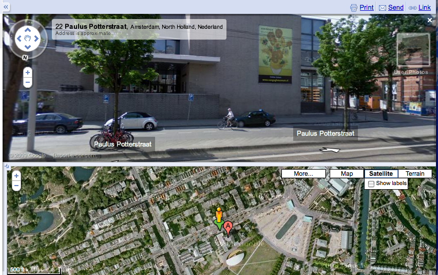
Google has released a bunch of new Street View images for cities in the UK and The Netherlands. Google Blogoscoped has a list of the UK cities. But you can just as easily drag “peg man” onto a UK or European map on Google and see the coverage. Recently Google added user photos to Street […]
Google has released a bunch of new Street View images for cities in the UK and The Netherlands. Google Blogoscoped has a list of the UK cities. But you can just as easily drag “peg man” onto a UK or European map on Google and see the coverage.
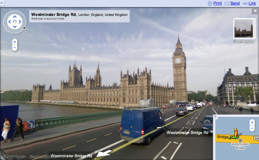
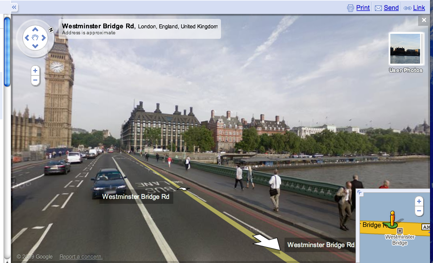
Recently Google added user photos to Street View. The Google Earth Blog noticed that as you pan around the map, the selection of user photos changes in real time to reflect the changed position on the map. See, for example, the window in the upper right in these two slightly different views of Parliament in London:
Over in Canada, directory site Canpages uses Google Maps. But it has used SF-based MapJack to provide “Street View” images on top of the Google Map:
The images are very high quality and can be expanded to full screen, which is a very nice feature, not currently available on Google:
However, Google might not like that a publisher (not Google) is using the term “Street View” with mapping images that are not from Google.
Contributing authors are invited to create content for Search Engine Land and are chosen for their expertise and contribution to the search community. Our contributors work under the oversight of the editorial staff and contributions are checked for quality and relevance to our readers. The opinions they express are their own.
Related stories
New on Search Engine Land


