Microsoft Taking On Google Street View With “GeoSynth”?
Since it was introduced more than two years ago, Microsoft’s innovative Photosynth technology has been “under-leveraged.” I’ve written a number of times about Photosynth and its potential. Now, according to an article in Fast Company, Microsoft is going to compete more aggressively with Google StreetView by soliciting user-generated photos and then geotagging and Photosynthing them. […]
Since it was introduced more than two years ago, Microsoft’s innovative Photosynth technology has been “under-leveraged.” I’ve written a number of times about Photosynth and its potential. Now, according to an article in Fast Company, Microsoft is going to compete more aggressively with Google StreetView by soliciting user-generated photos and then geotagging and Photosynthing them. The effort is reportedly called “Geosynth”:
Microsoft is going to find its images from someone else, namely, you. Essentially GeoSynth is going to function as a mashup between Microsoft’s Virtual Earth maps system and its PhotoSynth technology.
(See clarification below.)
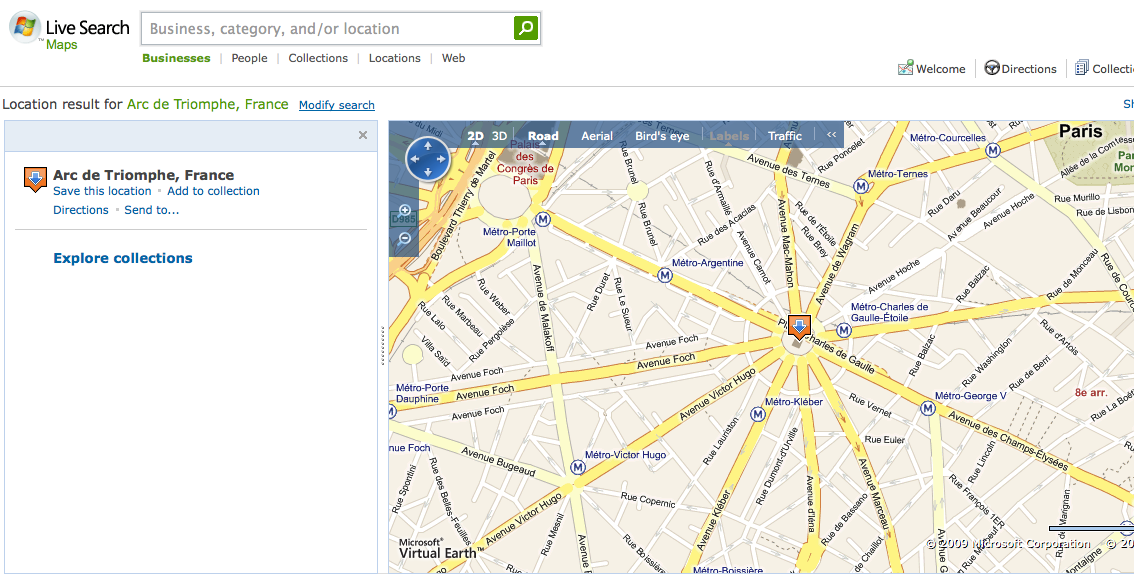
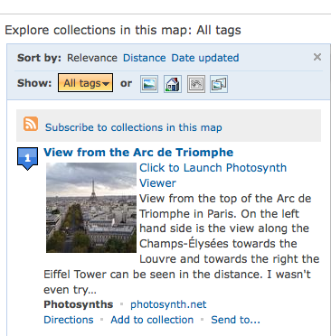
However, GeoSynth has been around since last October. The new implementation would seem to be a stepped up version of what Microsoft has already been doing. Photosynth images are currently available on Live Search Maps:
When Microsoft’s Bird’s Eye photography launched in 2006 it trumped Google Map’s satellite imagery. But the novelty of that faded when StreetView showed up with the promise of an even closer look at buildings and locations in major cities around the world.
When Google was first developing StreetView Microsoft also was testing StreetSide, a comparable offering that showed similar street-level imagery. It never was formally rolled out. Yet Microsoft apparently has continued to collect this imagery using cars with mounted cameras. None of it has shown up on Live Search Maps (as far as I know).
The Fast Company article suggests that Microsoft is now preparing to make Photosynth a more direct competitor with Google’s StreetView. There are some challenges in doing that that revolve around getting good images from people and making the Photosynth integration with Live Search Maps a bit better, but it’s a very provocative idea.
Update and clarification: I just received the following statement from a Microsoft spokesperson:
“Johannes Kebeck’s comments were taken somewhat out of context. GeoSynth is a standalone version of Photosynth offered by Vexcel that is licensed to public sector companies. There are no immediate plans to integrate GeoSynth into the consumer facing version of Live Search Maps. Photosynth collections are already included in Live Search Maps in the U.S.”
Contributing authors are invited to create content for Search Engine Land and are chosen for their expertise and contribution to the search community. Our contributors work under the oversight of the editorial staff and contributions are checked for quality and relevance to our readers. Search Engine Land is owned by Semrush. Contributor was not asked to make any direct or indirect mentions of Semrush. The opinions they express are their own.


