Google Tiptoes Into India With Street View
Google launched Street View on Thursday in India, the second most-populous country on earth. But “launch” may be a bit of an overstatement because, in a country that’s also the seventh biggest in square mileage, Google is only taking photographs in one city: Bangalore. Google announced that it’s using both cars and trikes to photographs […]

Google announced that it’s using both cars and trikes to photographs the streets of Bangalore. The city is a smart first choice: It’s a tech hub that’s often referred to as India’s version of Silicon Valley. Presumably, many in Bangalore will be familiar with and welcoming toward Street View photography.
When the Street View images are eventually added to Google Maps, all of the normal precautions will be in place: blurred faces and license plates, no images of private locations and a “report a problem” tool to ask that images be removed.
There’s a little bit of history between India and Google’s map-related imagery. In 2008, after terrorists admitted that they used satellite imagery to plan the tragic attacks in Mumbai, the Indian government asked the country’s High Court to demand that Google censor images in Google Earth.
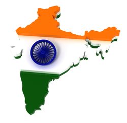
Stock image from Shutterstock, used under license.
Contributing authors are invited to create content for Search Engine Land and are chosen for their expertise and contribution to the search community. Our contributors work under the oversight of the editorial staff and contributions are checked for quality and relevance to our readers. The opinions they express are their own.
Related stories