Google Earth: This Is (1945) London
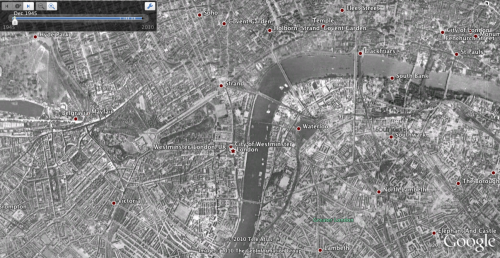
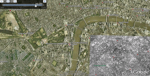
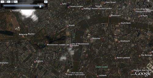
Google has added new historical imagery for London on Google Earth. It allows users to see images of how the city looked during recent history, in this case 1945 and various points forward to the present. Below are three “yesterday” and “today” images from the new London archive: You can access this archival photography by […]
Google has added new historical imagery for London on Google Earth. It allows users to see images of how the city looked during recent history, in this case 1945 and various points forward to the present. Below are three “yesterday” and “today” images from the new London archive:


You can access this archival photography by using the clock icon in the horizontal toolbar at the top of the map. A slider appears that shows the points in time for which there are images. Here’s a tutorial on how to invoke historical imagery.
Google has been adding more and more historical imagery to Earth and it exists for cities in the US in many cases and numerous locations throughout Europe. I wasn’t able to find a comprehensive list of the places around the world where you could see archival maps and images. So you’ll just have to explore for yourself.
Contributing authors are invited to create content for Search Engine Land and are chosen for their expertise and contribution to the search community. Our contributors work under the oversight of the editorial staff and contributions are checked for quality and relevance to our readers. The opinions they express are their own.
Related stories
