Google Consolidates “Places” On Earth, Will Fill In The Blanks On Maps

Google is seeking to simplify and consolidate some of the multi-media content on Google Earth associated with particular places. Accordingly, it has created a “Places” layer that tries to bring together a variety of content on a single page about a place. A gray box, which Google likens to a “stack of photographs,” indicates one of these pages.

Clicking the box brings up a multi-media display that offers still images, videos and text about the particular location. Here’s an example for Ellis Island (New York):
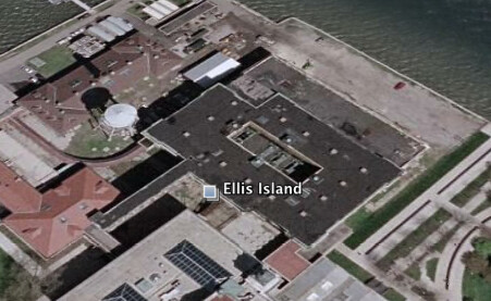
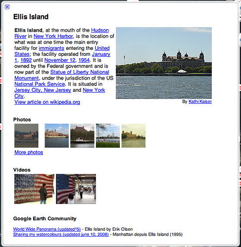
Separately, Google said that it will start filling out countries in Google Maps where there are only limited data about a place. In the past it has not added details for countries where the data have been sparse or very incomplete. In response to user requests, Google has said that will now change.
Explore more on
Add Search Engine Land as a preferred source on GoogleEditorial disclosure
Contributing authors are chosen for their expertise and work under the oversight of the editorial staff. Search Engine Land is owned by Semrush. The contributor was not asked to mention Semrush; the opinions expressed are their own.
About the author