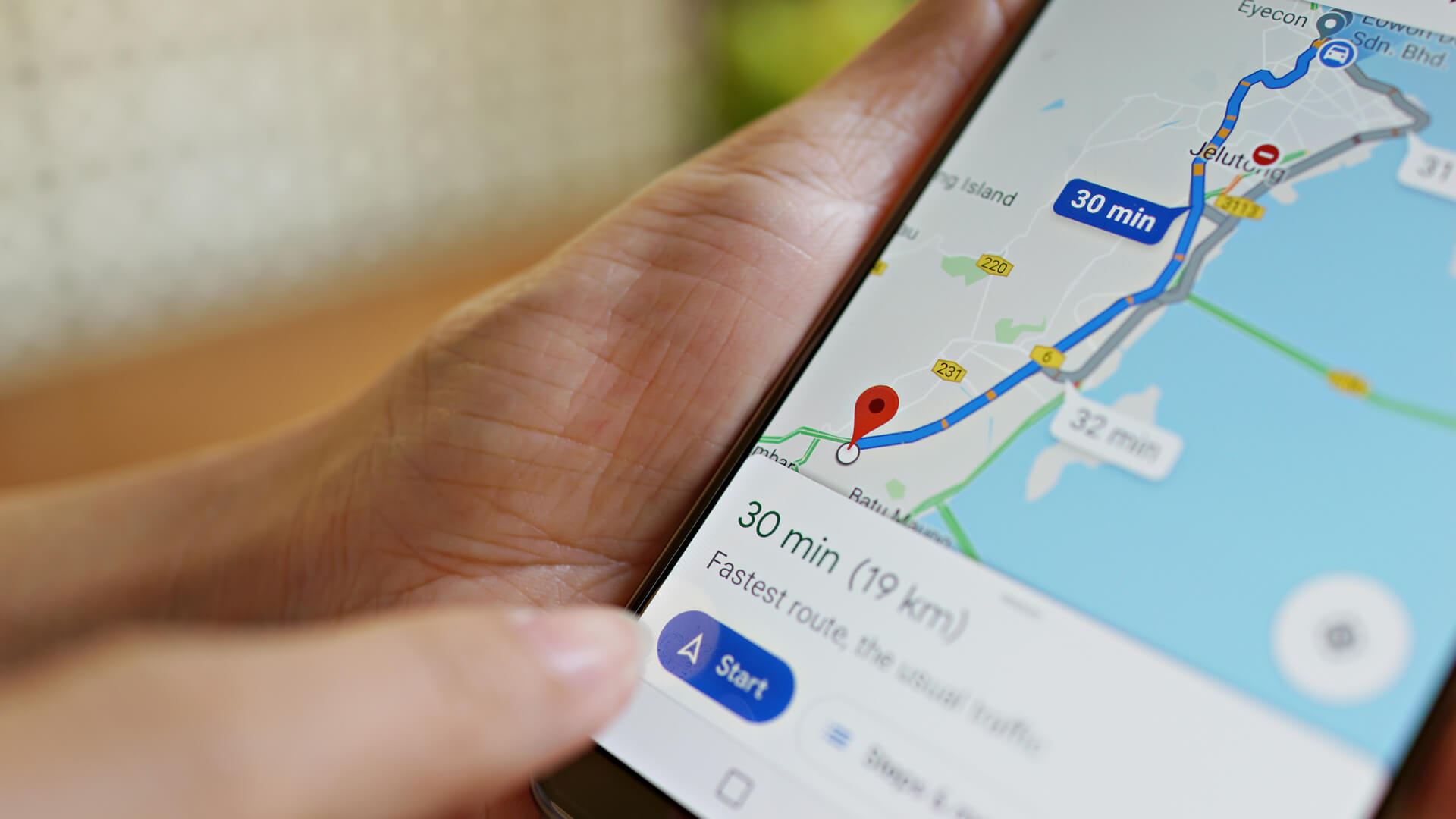
Google Maps Adds Distance Measuring Feature
Google has quietly announced on Google+ that they have added the distance-measuring feature to the new version of Google Maps. The feature allows you to draw points on Google Maps to see how far in distance (feet/miles/etc.) it is from one point to the next. This feature was available on the old version of Google […]
Google has quietly announced on Google+ that they have added the distance-measuring feature to the new version of Google Maps. The feature allows you to draw points on Google Maps to see how far in distance (feet/miles/etc.) it is from one point to the next.
This feature was available on the old version of Google Maps and is now available on the new version.
How does it work?
(1) Open the new Google Maps.
(2) Right-click on your starting point.
(3) Click Measure distance.
(4) Click anywhere on the map to create a path you want to measure. Click to add additional measuring points.
(5) [Optional] Drag a point to move it, or click a point to remove it.
(6) Look on the map and under the search box for the total distance.
(7) When done, either click the “X” in the card under the search box or right-click on the map and select Clear measurement.
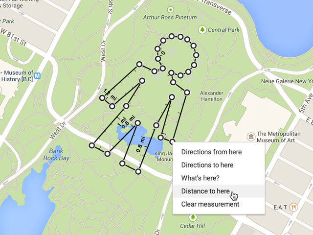
Here is a picture of what it may look like, if you get creative:
Search Engine Land is owned by Semrush. We remain committed to providing high-quality coverage of marketing topics. Unless otherwise noted, this page’s content was written by either an employee or a paid contractor of Semrush Inc.