Google Maps Let’s You Discover “What’s Here”
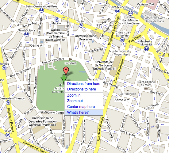
Google Maps has introduced a useful new feature called “What’s Here,” which allows you to use the map as a kind of discovery tool. Select a point, right click and the menu appears with a new choice “what’s here,” allowing discovery of — you guessed it — what’s at/around the designated site or point. The […]
Google Maps has introduced a useful new feature called “What’s Here,” which allows you to use the map as a kind of discovery tool. Select a point, right click and the menu appears with a new choice “what’s here,” allowing discovery of — you guessed it — what’s at/around the designated site or point. The answers and options change depending on the level of zoom. User-generated maps and content appear along with more traditional data sources in the left pane accordingly.
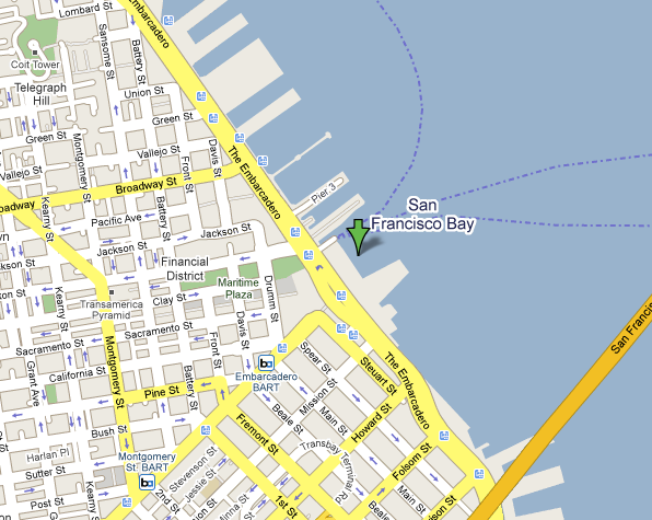
Here’s an example in San Francisco for the Ferry Building:
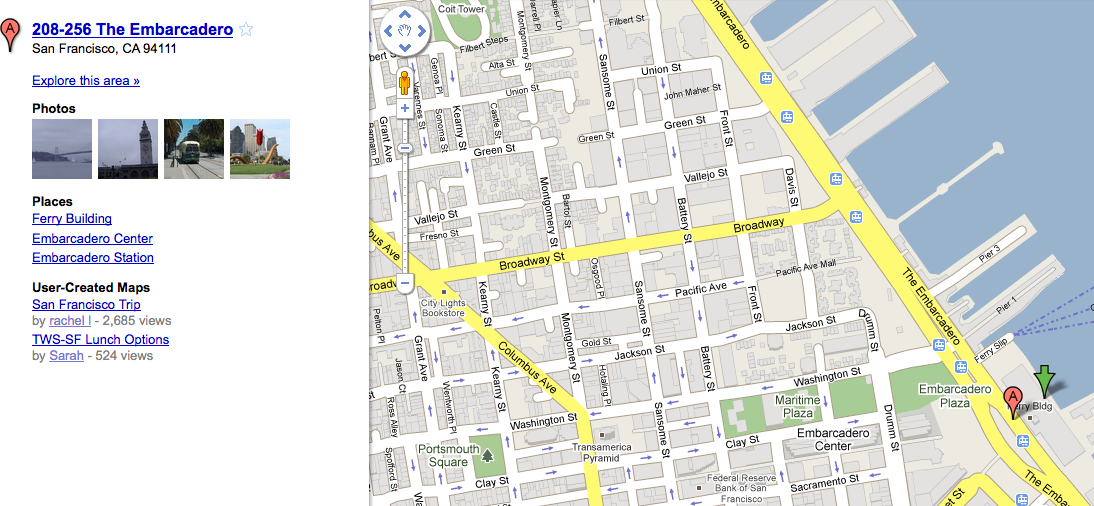
Clicking the link “explore this area” yields additional content:
It appears to work outside the US as well:
This is obviously not a major upgrade, and in fact What’s Here is somewhat buried behind a right click. But it’s a helpful new feature and adds incrementally to the value of Google Maps, offering people one more reason to keep using it.
Contributing authors are invited to create content for Search Engine Land and are chosen for their expertise and contribution to the search community. Our contributors work under the oversight of the editorial staff and contributions are checked for quality and relevance to our readers. The opinions they express are their own.
Related stories
New on Search Engine Land


