Google Shows “Helicopter View” Of Routing On Maps
Google will now allow you to take a virtual aerial trip in Google Maps/Earth along a contemplated route. They’ve informally called it “helicopter view.” It’s a pretty cool feature, although perhaps not as “useful” as traffic information. You plot a route (“Get Directions”) between two points and click a button and the animation takes over. […]
Google will now allow you to take a virtual aerial trip in Google Maps/Earth along a contemplated route. They’ve informally called it “helicopter view.” It’s a pretty cool feature, although perhaps not as “useful” as traffic information.
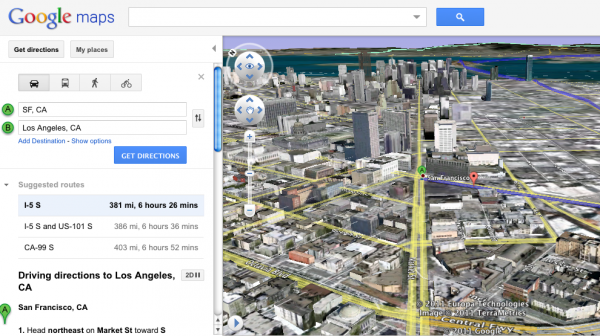
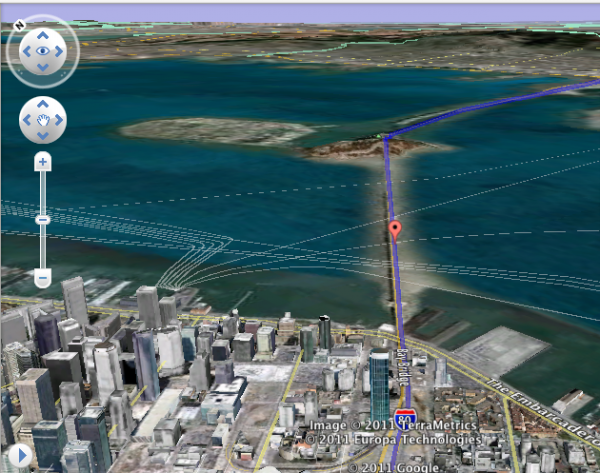
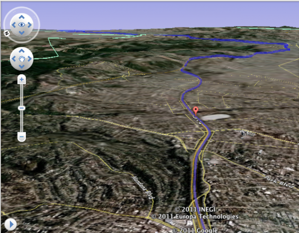
You plot a route (“Get Directions”) between two points and click a button and the animation takes over. Here are some shots from a San Francisco to Los Angeles driving trip I laid out:

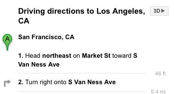
After you’ve picked two points, you initiate the “helicopter tour” by clicking a “3D” button adjacent to the routing information.
This also works in Europe: Barcelona to Paris and Paris to Prague were two additional routes I also plotted.
Contributing authors are invited to create content for Search Engine Land and are chosen for their expertise and contribution to the search community. Our contributors work under the oversight of the editorial staff and contributions are checked for quality and relevance to our readers. The opinions they express are their own.
Related stories


