Bing Maps Rolls Out Its Largest Image Update
Bing Maps has rolled out what Microsoft is calling its “largest amount of new imagery ever in terms of square kilometers.” Apparently that represents 6.7 million square kilometers. There’s new aerial and Bird’s Eye imagery across many countries on several continents. The full list is below. The Bing Maps World Tour shows the updates on […]
Greg Sterling on March 5, 2010 at 3:12 pm | Reading time: 1 minute
Bing Maps has rolled out what Microsoft is calling its “largest amount of new imagery ever in terms of square kilometers.” Apparently that represents 6.7 million square kilometers.
There’s new aerial and Bird’s Eye imagery across many countries on several continents. The full list is below.
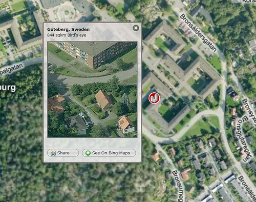

The Bing Maps World Tour shows the updates on the map.
Contributing authors are invited to create content for Search Engine Land and are chosen for their expertise and contribution to the search community. Our contributors work under the oversight of the editorial staff and contributions are checked for quality and relevance to our readers. The opinions they express are their own.
Related stories
New on Search Engine Land
About the author
Contributor
Greg Sterling is a Contributing Editor to Search Engine Land, a member of the programming team for SMX events and the VP, Market Insights at Uberall.